Land Degradation and Water Resources Management
In 2020, MSRI recently completed two interrelated projects funded by the World Bank on: “Catchment characterization in the Vakhsh Basin Upstream of Nurek Reservoir, Tajikistan” and “Mapping and Valuing Ecosystems Services, and Prioritizing Investments in Select Watersheds in Tajikistan to support Sustainable Hydropower”. The main objectives of these projects were to understand erosion sources and processes in Vakhsh River Basin above Nurek Dam and estimate sediment loads to the dam reservoir. Another project, also funded by the World Bank, on “Crop Yield Forecasting using Remote Sensing in Tajikistan” developed and tested a method to predict yields of primary agricultural crops at the district level, as well as for several large dekhkan farms.
Catchment Characterization in the Vakhsh Basin Upstream of Nurek Reservoir, Tajikistan
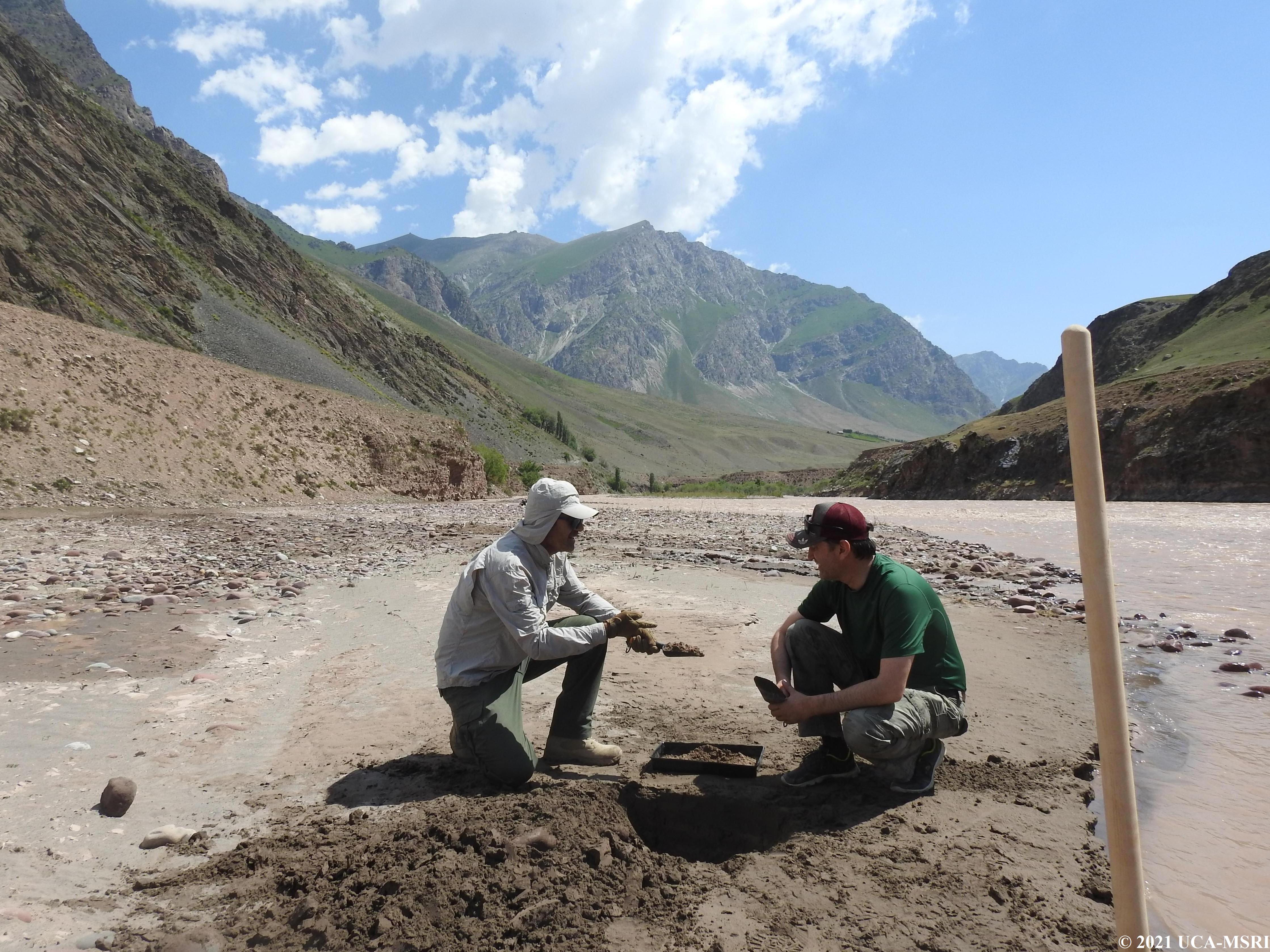
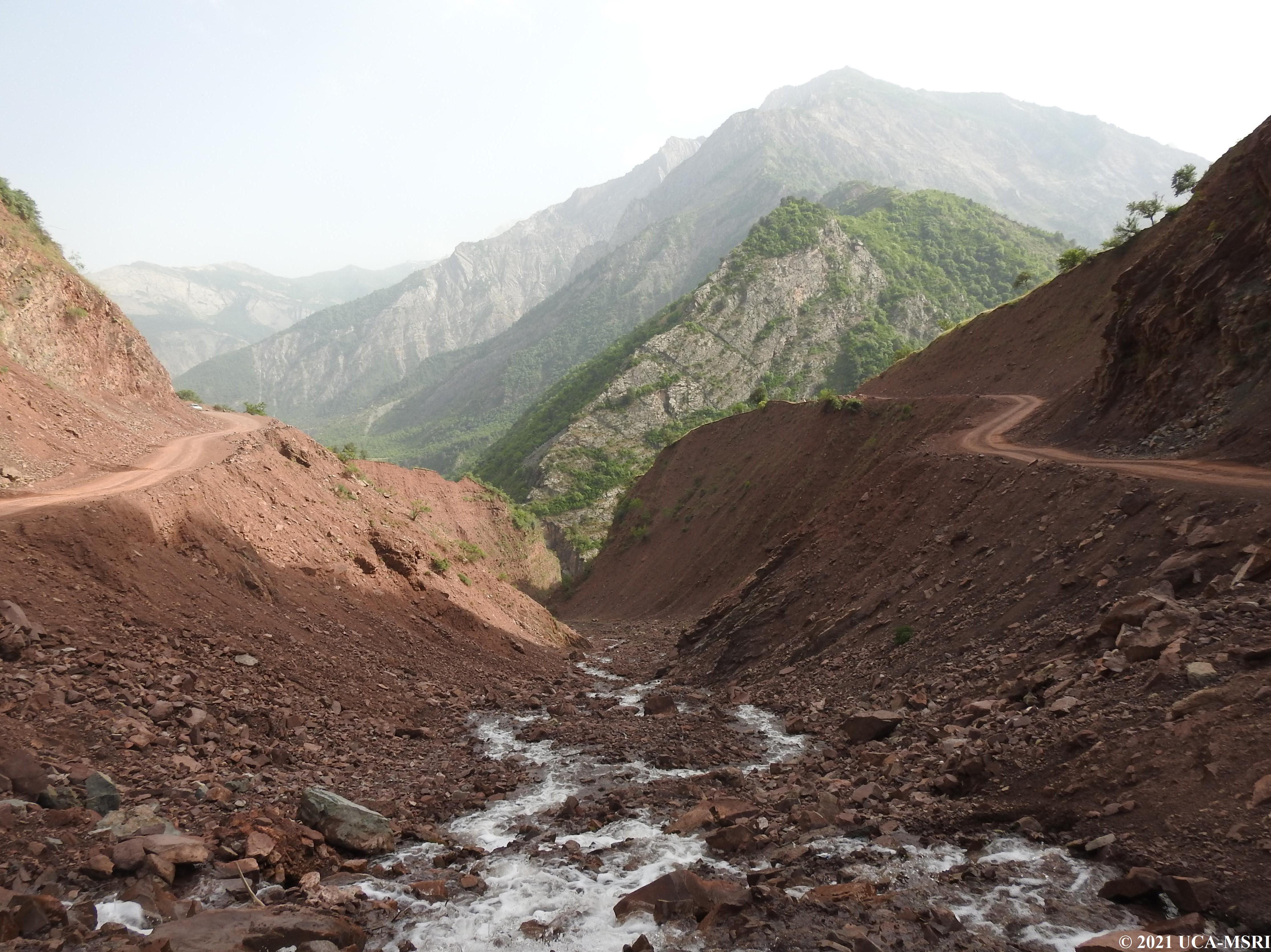
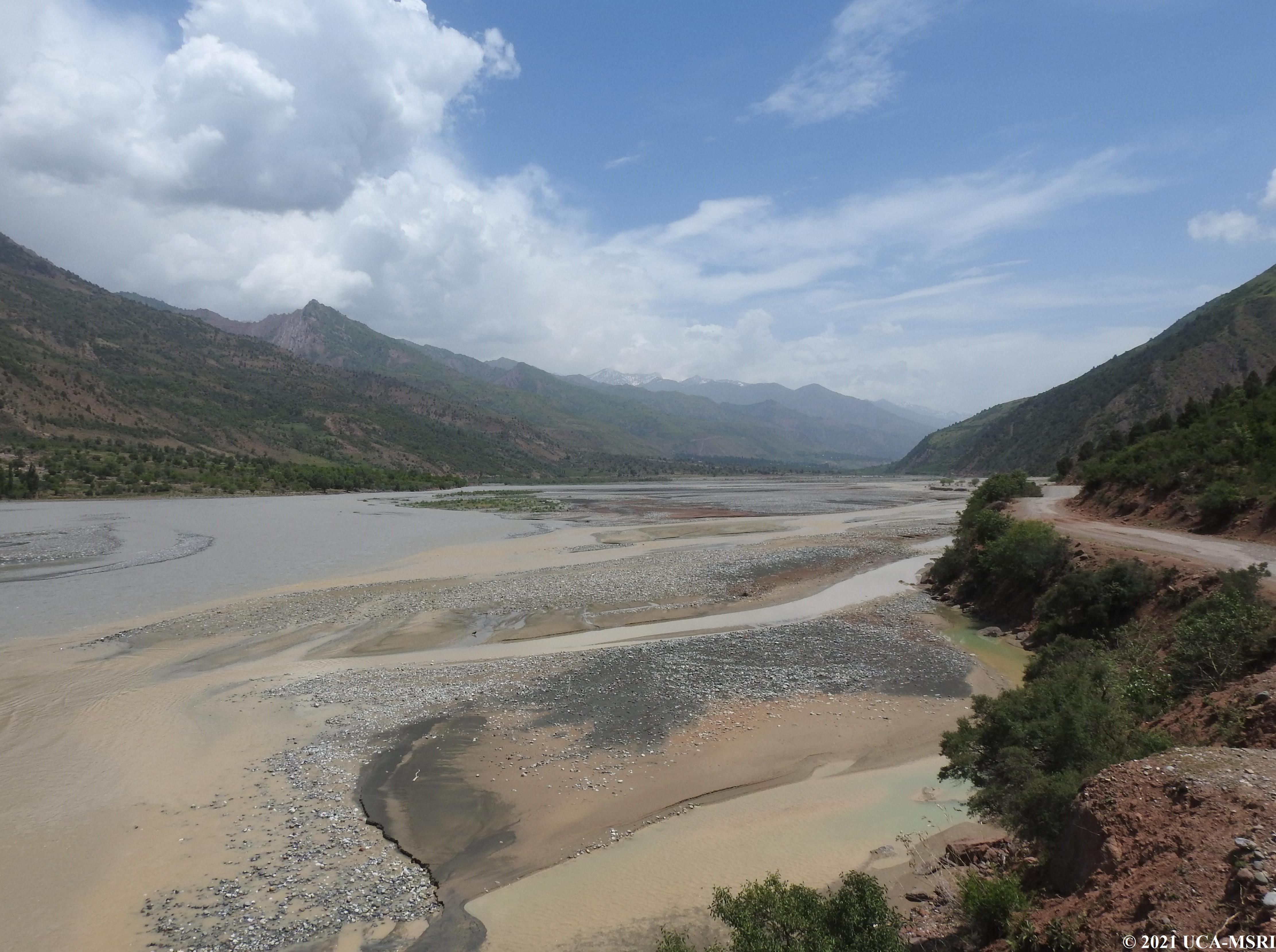
Tajikistan has significant water resources that the government exploits through major dams, among the largest and highest in the world. This is notably the case of the Nurek dam on the Vakhsh River, built for hydroelectric purposes but also for agricultural irrigation. This dam alone can produce 3,000 MW, one of the largest dams in Central Asia. However, sedimentation of this and other reservoirs in the Vakhsh basin will ultimately reduce the volume of reservoirs and limit the hydroelectric potential of these huge investments. High levels of sedimentation result from extensive gully erosion in the catchment, as well as landslides and more chronic erosion from agriculture and rangelands. MSRI conducted a preliminary survey of the catchment upstream of the Nurek reservoir to identify the primary sources of these sediments. Additionally, MSRI has been collecting water samples on a bi-monthly basis from selected sites within the Vakhsh River starting in April 2020. The collected samples were analyzed for suspended solids. As this sedimentation database is being generated, MSRI will have some of the only spatial and temporal information on sediment transport in this important river system. Furthermore, the data will help identify the sources of these sediments and thus inform whether management actions can be implemented to mitigate the sedimentation of the downstream reservoirs.
Mapping and Valuing Ecosystems Services and Prioritizing Investments in Select Watersheds in Tajikistan to Support Sustainable Hydropower
This associated project funded by the World Bank also focuses on sediment issues in the Vakhsh River basin. In this project, catchment geomorphic characteristics and land uses are assessed and are correlated with the results of the riverine sediment analysis. MSRI produced a high-resolution (10 m) land use map of the area, which facilitates comparison and interconnections with areas that are susceptible to soil erosion. The field geomorphologic assessment identified areas of very active erosion, including gullies, landslides, and debris flows within portions of the catchment. In addition, MSRI produced a Snow Persistent Index map that provides information on the extent of snow cover in the catchment and the timing of snowmelt, a key factor in the seasonality of sedimentation. In parallel, geology and hydrology data were compiled and collected. All these results contributed to the interim World Bank report in 2020 and constitute an important dataset to assess sedimentation rates in the Vakhsh River system.
Crop Yield Forecasting using Remote Sensing in Tajikistan
Climate change combined with demographic and environmental pressures are expected to negatively affect livelihoods and food systems in Tajikistan where less adaptable, small rain-fed mountainous agricultural systems dominate. Peasant farming is the dominant production system with low levels of cropland intensification, small fields, and significant between-field and within-field variability of vegetation. The project developed classification methods for mapping land use and land cover classes, particularly rain-fed and irrigated agriculture fields, and developed a method to estimate yields of primary main crops using high spatial resolution remotely sensed data.
A series of field surveys were conducted to collect data to identify land use structures for the 2019-2020 agriculture season in three pilot districts of Tajikistan. This information was used to test and validate various classification methods to delineate agricultural lands from other land cover classes. To develop a method for crop yield forecasting, yield statistics from individual fields and district levels were collected and these were used to estimate yields of three main cultivated crops in pilot districts. A tool is being developed to automate the process of downloading and preprocessing satellite data, land use classification, and agricultural land delineation. Also, as part of capacity building, training on collecting field data using tablet applications was conducted for Ministry of Agriculture field teams.